
 In March and August 2016, Louisiana experienced two historic rain events that produced trillions of gallons of rainwater. The rising floodwaters reached more than 145,000 homes throughout the state, leaving behind an estimated $10 billion in damage and resulting in recovery efforts that will take years to complete.
These devastating events exposed key weaknesses in Louisiana’s approach to floodplain management and risk-reduction planning at all levels of government. In response, Gov. John Bel Edwards charged several state agencies with coordinating their efforts to develop a new approach to reducing flood risk throughout Louisiana. This early work included efforts ranging from the development of hydraulic and hydrologic models to the development of watershed coalitions in coordination with parish, state and federal entities. Over the course of this two-year period, the state and its partners have made significant progress and many findings have emerged that are helping to inform the state’s shift from mitigating flood risk within jurisdictional boundaries to one that more directly takes into account the flow of water and its natural boundaries.
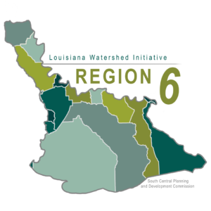
In August 2019, the Council on Watershed Management agreed to use these eight watershed regions as a starting point to coordinate efforts among parishes and distribute project funds. South Central Planning and Development Commission is the fiscal agent for Region 6.
Watershed Governance Outreach Talking Points
Region 6 Steering Committee Meeting Materials
Region 6 Watershed Subcommittee Meeting Materials
Press Release: Round 1 Funding for Flood Mitigation Projects in LWI Watershed Region 6
South Central Planning & Development Commission Watershed Contacts
 Pat Gordon, pat@scpdc.org
5058 W. Main St.
Houma, LA 70360